Remote Sensing & GIS
Services List
Download Service Catalog
Remote Sensing & GIS Services
Turn Data into Smart Decisions
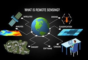
At Palafrique, we use satellite imagery, drones, and mapping tools to turn complex spatial data into simple, actionable insights. We help governments, businesses, NGOs, and researchers monitor land, plan projects, manage resources, and make informed decisions—no technical knowledge needed.
Our Services:
-
Satellite imagery analysis & land monitoring
-
GIS mapping & spatial analysis
-
Agriculture, environment & resource management
-
Urban planning & infrastructure support
-
Clear maps, reports, and dashboards
Why Choose Us:
Accurate, easy-to-understand data, tailored solutions, and support you can rely on—locally or remotely.